Resource persons and participants at the awareness programme on May 6.
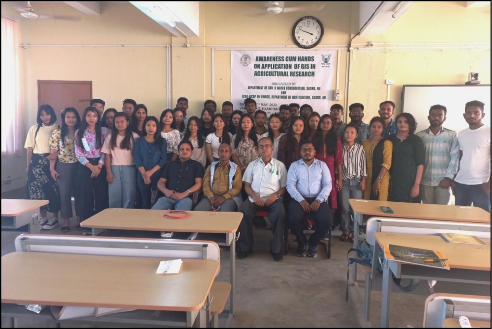
Dimapur, May 8 (MExN): A one-day awareness and hands-on use of Geographic Information System (GIS) in agricultural research was organised by Soil & Water Conservation department, SASRD Nagaland University, in collaboration with ICAR-AICRP on Fruits, Medziphema Centre, Department of Horticulture on May 6.
In the technical session, resource person Dr Liza G Kiba explained about the application of remote sensing and GIS in estimating potential runoff due to rainfall, according to a press release received here on Sunday. Dr Kiba is said to have stated that estimating total runoff is very significant for drawing any hydrologic structure or for forecasting flood and also to adopt mitigation measures.
In the second session, Somnath Mandal trained the participants on application of geospatial technology on agricultural sciences for precision agriculture and also mentioned that it would help to monitor and predict the agricultural related activities.
Earlier, the programme was chaired by Sewak Ram, Organising Secretary while welcome address was by delivered Prof RC Nayak and opening remark by Prof CS Maiti. In conclusion vote of thanks was conveyed by Dr Alongba Jamir, all together 81 participants including teaching faculty, PhD scholars and master degree students were benefitted through this programme, the release stated.