Noklak, October 21 (MExN): The final report on landslide risk evaluation of Noklak Town by the Department of Geology, Nagaland University has revealed that nearly one-fourth of the Noklak township are affected by the Kiam landslide, with people and their assets at risk. The landslide has plagued Noklak town and its citizens for more than two decades, as per the report.
During the presentation of the final report of the project held on October 21 at DC’s Conference Hall, Noklak, Prof G T Thong explained causes of landslide like tectonic activity, earthquake, high precipitation, poor drainage and anthropogenic activity.
The town rests on disang rocks (mostly shale) and slope material (soil and rock debris) and the depth of soil cover is 3-5m. Most of the rainfall in the northern part of town flows into Kiamong River passing through slide zone, Prof Thong said.
The main objectives of the project were determination of mechanical properties of soils and rocks of Noklak landslide zones, preparation of landslide susceptible and risk maps of Noklak Town and to suggest remedial/ mitigation measures. The overview of study area as found are highly unstable due to weak rocks, steep slopes and sparse vegetation where the situation is aggravated by running water, Prof Thong added.
Remedial suggestions
The report also suggested some remedial measures for Noklak Town which include preparation/ modification and implementation of building code, essential plan for expansion of township towards east, conducting awareness programs, good drainage network etc.
The report advised against constructing heavy structures on weak slopes, and not to initiate developmental activities in the slide zone. It also suggested ensuring proper disposal of waste, particularly non-biodegradable wastes.
As per the mitigation measures reported, prospect for permanent measures are bleak and the viable options are proper line drains along Kiamong River course and checking dams to reduce velocity and minimize erosion.
The project was undertaken by Dr Temsulemba Walling as Principal Investigator, Prof G T Thong as Co-PI, Mademshila Jamir as Research Fellow and Nokendangba Chang as Project Assistant under the Department of Geology, Nagaland University Kohima campus, Meriema. The project started on June 1, 2018 and concluded on March 30, 2021.
Prof G T Thong acknowledged the Noklak District Administration, Noklak Village Council and Kiam Landslide Committee for their support and cooperation.
Officers from Geology Survey of India who are also working on the Kiamong landslide, highlighted on their work process and progress during the meeting.
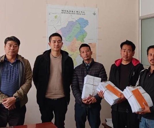
While welcoming the resource person and his team from Geology Department of Nagaland University and Geology Survey of India, SDO (Civil) Noklak C Phuniang highlighted the problems caused by the landslide in Noklak Town and conveyed congratulations on the successful completion of the project. A copy of the project report was handed over to the Noklak district administration.


