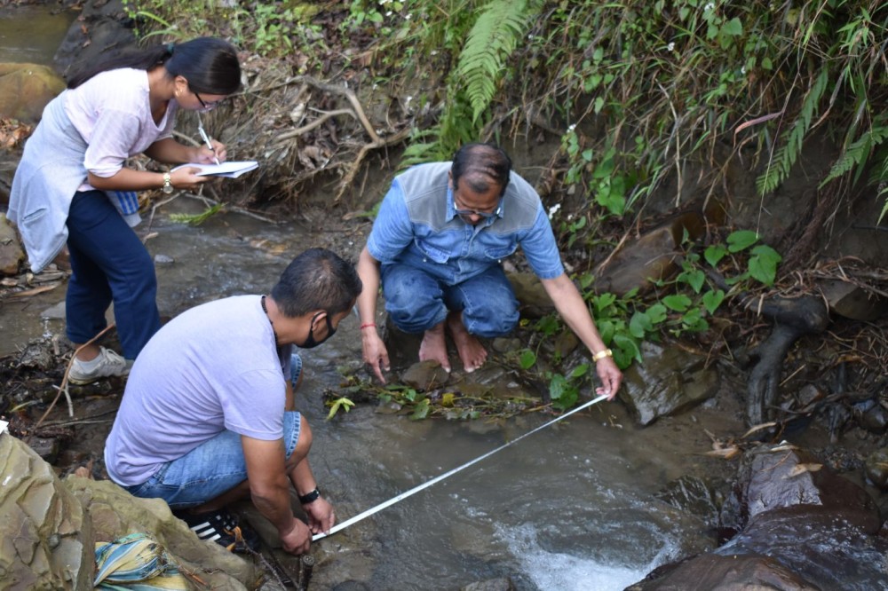
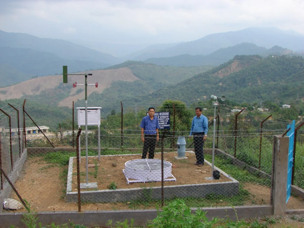
Nagaland University Researchers taking measurements in the field to map environmental degradation in Kohima
District records 1,100 seismic events between 1982 and 2022
Lumami, April 1 (MExN): A study led by Nagaland University has used Geographic Information System (GIS) modelling and remote sensing to analyse environmental degradation in Kohima district, highlighting significant changes in land use, climate patterns and geological stability in the North East Hill (NEH) region.
Conducted in collaboration with PNG Government PG College, Ramnagar, the research examines the fragile geo-ecological conditions of the region and aims to support improved environmental monitoring, climate resilience planning and sustainable development.
Published in December 2023 in peer-reviewed Environmental Monitoring and Assessment, the study addresses concerns over environmental degradation driven by both natural processes and human activities, including rapid urbanisation, deforestation, shifting cultivation and climate change, informed a press release from the University.
These factors, the study noted, are contributing to increased risks such as landslides, floods, droughts and extreme weather events.
The research was co-authored by Dr Khrieketouno Belho and Prof MS Rawat of Nagaland University, along with Dr Pradeep Kumar Rawat of Uttarakhand Open University Study Centre.
Using an integrated GIS-based modelling system, the team analysed environmental change through geodiversity, land-use and climate informatics, examining interconnected parameters such as geological structures, vegetation cover, rainfall, temperature and ecological systems.
Elaborating on the findings, Prof Rawat said the region remains highly fragile due to continuous seismotectonic activity, unstable geology and frequent natural hazards, adding that rapid land-use degradation is intensifying climate-related challenges.
He stressed the need for timely mitigation measures to prevent further environmental impacts.
Dr Belho noted that the NEH region is highly vulnerable to monsoon hazards and climate change impacts, both environmentally and socio-economically, adding that the study provides an important contribution to understanding geo-environmental pressures in the region.
The study also highlighted the geological vulnerability of Kohima district, recording over 1,100 seismic events between 1982 and 2022, an average of around 27 micro-earthquakes annually, linked to tectonic faults and geological lineaments that contribute to erosion, landslides and landscape instability.
According to the researchers, the findings point to three major forms of environmental degradation—geodiversity, ecological and climatic.
These changes together increase the likelihood of extreme rainfall, floods, erosion and other geohydrological hazards, impacting ecosystems, agriculture and human settlements.
The study emphasises the need for evidence-based planning and sustainable land management strategies.
By integrating geospatial technologies with environmental data, the research provides a comprehensive framework that policymakers and planners can use to better understand environmental risks and develop climate adaptation strategies, the release added.