Participants and officials during the training organized for Forest Guards on Nagaland Forest Management Project. (Photo Courtesy: DMU Dimapur, NFMP-JICA)
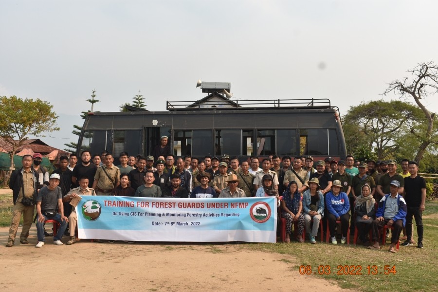
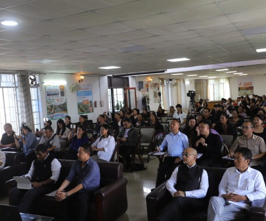
Dimapur, March 9 (MExN): Two-day training was organized for Forest Guards on Nagaland Forest Management Project (NFMP) concepts, institutional setup, planning and implementation of M&E processes/PRA exercise, web GIS portal and mobile application under NFMP and JICA (Japan International Corporation Agency). It was held on March 7 and 8.
DMU Dimapur, NFMP-JICA in a press release stated that the training was organized to improve the understanding of ground-level staff for collaborating the villagers in decision making by organising PRA map exercise and collecting the forest-related data with the help of a mobile app. It also helped the key stakeholders on different monitoring and evaluation-related problems with the use of the web GIS portal.
It also added that NFMP assisted by JICA headed by the Chief Project Director cum CEO Dharmendra Prakash, IFS, PCCF and HoFF is a forestry intervention and biodiversity conservation project. The project aims to focus on different project works for livelihood improvement and forest community development. The web GIS portal and mobile application, developed under the supervision of Vedpal Singh, IFS Project Director, M&E and IM for concurrent monitoring and evaluation.
Shakiba Yimchunger, SEFTI Director, Dimapur helped the Project Management Consultants (PMC) in organise the training at their campus.
Vedpal Singh, IFS Project Director, M&E and IM and PMC Team Leader, Pranab R Choudhury shared on the use of technology and participatory approach in terms of GIS and remote sensing and PRA map exercise on day one of the training. He spoke on the topic of ‘NFMP concepts, institutional setup, planning and implementation of M&E Processes/Pra Exercise, web GIS portal and mobile application.’
Different experts from PMC and PMU presented various modules of these applications and described their uses in the training. The experts included PMC Team Leader, Pranab R Choudhury, PMC GIS, Anurag Verma, PMC Forestry & Biodiversity, Dr Arun M Dixit, PMC Capacity Building, Pravanjan Mahapatra and PMU GIS, Rashid KV, PMU Remote Sensing Assistant, Subongchiten Jamir and Anamoa Imsong, GIS Operator PMU.
A field visit to Ruzaphema village was also organized on March for data collection for plantation under different modules with the help of a mobile app. The chairman, vice-chairman, and secretary of the JFMC were also present during the discussions.