Our Correspondent
Kohima | March 19
Seismology and disaster management is an important diversified activity of the Directorate of Geology and Mining. The activities involve investigation and monitoring of earthquakes, landslide, other geo related natural hazards, geo-environmental care and conduct of mass public awareness and issue of earthquake damage certificates.
This was stated in annual administrative report 2015-16 of the Department of Geology and Mining tabled on the floor of the House by Parliamentary Secretary for Geology & Mining Dr. Imtiwapang Aier on Friday.
The report stated that to achieve the objectives of the Cell, the department has taken up a collaborative programme with the Northeast Institute of Science and Technology, Jorhat, Government of India.
Under the collaborative programme, the department has installed 9 Remote Digital Seismic observatories (Field stations) and two GPS stations in Nagaland to monitor earthquake activities and tectonic plate movement for Nagaland and its adjoining areas.
In order to monitor the earthquake activities independently, a Seismic Sub-Net Station at DGM headquarters Dimapur was inaugurated in 2013, but due to lack of basic equipments and fund constraint the Sub-Net Station is yet to be fully operational.
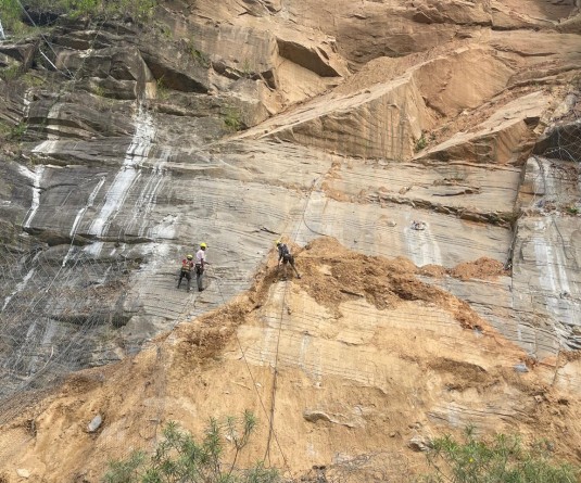
During 2015-16, the department has undertaken landslide investigation in Thewati, Phek district, Phesama and Assam Rifles camp, Kohima.
During the period, a team of geologist were also deputed for training on landslide hazard zonation to GSI Training Institute Aizawl, Mizoram and also participated in Central Geological Board meeting on geohazards in Lucknow.


